Devon · TQ8
Drone search and rescue cover in Salcombe
Aerial search cover from Salcombe's steep harbour hillside out to the open-water cliffs at Bolt Head.
A town stacked above deep water
Salcombe is built up a very steep hillside at the mouth of the Kingsbridge estuary, with houses climbing above the water rather than spreading out along it, which means there is rarely one place in the town that gives a clear view of more than a narrow slice of the hillside or the water below it. A ground search here has to work up and down that slope repeatedly, checking gardens, paths and steep ground between properties that do not line up into any obvious route on a map. Flown from above, that same hillside becomes a single sweep rather than a slow climb and descent worked street by street.
The estuary itself adds another layer, since North Sands and South Sands, the harbour and the moorings all sit below the town and change character completely with the state of the tide. A visual pass over the water and the exposed sand at low tide, combined with a check of the steep ground above, covers both halves of the search in far less time than working each of them on foot in turn.
Open water and cliffs at Bolt Head
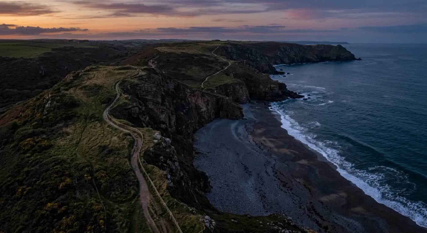
Outside the shelter of the estuary, the ground changes sharply. Bolt Head, just to the west, brings proper open-water cliffs and a far more exposed stretch of coast path, closer in character to the Jurassic Coast further along this stretch than to the sheltered water inside the harbour. A search that starts in the estuary can end up needing to cover that exposed headland too, and the two are different kinds of job, one largely about tide and hillside, the other about cliff edge and open sea. Both are ground a drone can cover without anyone having to work along an exposed cliff path just to check it first.
Wind is the main factor out at Bolt Head, since the headland is very exposed to the south and gusts hard around the steep ground above the water, in a way the sheltered harbour rarely is. Flights are planned with that difference in mind, since conditions inside the estuary can be calm while the headland just outside it is a different prospect entirely, and a flight plan built for one will not automatically work for the other.
Covering the estuary and the coast together
A search around Salcombe often needs both halves covered: the town and harbour on one side, the open coast at Bolt Head on the other, and treating them as a single job rather than two separate searches saves time that a foot-based effort would otherwise lose moving between them. Overbeck's and the headland paths give a natural line to work along once the harbour and hillside have already been checked.
Imagery and thermal detections go straight to the police or search coordinator, as on any job, so a wide first look, harbour, hillside and headland together, turns quickly into a clear steer on which stretch of ground needs people sent to it next, rather than everyone having to search all of it blind.
Behind the flight
What sits behind a search around Salcombe
CAA registered
Operator ID and Flyer ID held, plus the A2 Certificate of Competency. Paperwork is available on the phone before a flight, including to the police or a search coordinator if it is needed.
Radiometric thermal
A DJI Mavic 2 Enterprise Advanced carrying a 640 by 512 thermal camera, strongest at dawn, dusk and after dark, which is when a ground search slows down the most.
100 megapixel visual camera
A DJI Mavic 4 Pro with a Hasselblad camera and 6K video, used for daylight coverage and for legible imagery of anything found, close enough to act on.
Insured with Coverdrone
Full commercial cover for the operation. Certificates go to a search coordinator, a landowner or an event organiser as a matter of course, without anyone having to chase for them.
Nearby
Also covered around Salcombe
See how a search is flown
Call now, same day in Salcombe
Call with the location and what has happened. Sam Hembury will come back with a fixed price and get airborne as soon as it is safe to.