Devon · EX8
Drone search and rescue cover in Exmouth
Aerial search cover along Exmouth's two miles of open seafront and its exposed river mouth, marina and clifftop paths.
Long open ground, fully exposed to the weather
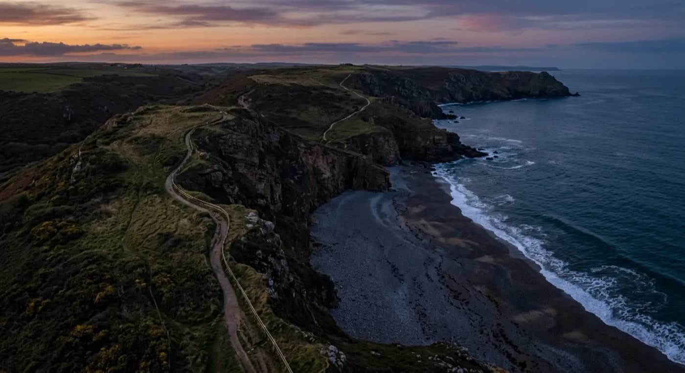
Exmouth's seafront runs for close to two miles, backed by a marina and docks quarter at the river mouth, with ground rising steeply behind the town toward Orcombe Point and Sandy Bay. There is little shelter here. Salt-laden south-westerlies come straight in off the open sea with nothing to break them, and a search flown into that wind is a very different job from one on a still morning, both in how the aircraft handles and in how far it can usefully cover before conditions force a change of plan.
The scale of the seafront is its own challenge, separate from the weather. A foot search covering the full run of beach, promenade, dunes and marina frontage takes a lot of people and a lot of time. A drone flying a set pattern along the same stretch can cover it far faster, flagging anything worth a closer look so that people on the ground know exactly where to go.
Estuary mouth, marina and cliff searches
The mouth of the Exe brings its own scenarios: someone reported near the water around the marina or docks, where deep channels and moving boat traffic make a direct foot search slower and more limited, or a walker overdue on the cliff path out toward Orcombe Point, where the ground is steep and the drop is unforgiving. Both are places where getting eyes on the whole area quickly matters more than sending a person into a position that is itself risky to stand in.
On busy weekends through the summer, Exmouth also generates a different kind of job: an event or beach safety sweep across a crowded stretch of sand at Sandy Bay or along the main seafront, checking for a lost child, confirming an area is clear before an event goes ahead, or getting a fast overview of a beach that is too large to scan properly from ground level.
Covering ground the coastguard and police can't reach as fast
HM Coastguard and the police lead any search along this coastline, and the drone's role is to support that effort: covering the open seafront, marina edges and clifftop paths quickly so that people on the ground can be sent to where they're actually needed, rather than working the full length of an empty beach section by section.
With launch points close to the seafront and marina, a flight can be up and covering ground within minutes of being asked, which matters most in the opening stages of a search, when time and daylight are both limited and every early minute of coverage counts.
The docks quarter and marina add a working waterway into the mix as well, with moored boats, pontoons and moving traffic that a foot search has to work carefully around. A drone pass over the same water gives a coordinator a full picture of the marina basin in a single look, rather than the partial view anyone on the quayside actually gets from ground level.
Behind the flight
What sits behind a search around Exmouth
CAA registered
Operator ID and Flyer ID held, plus the A2 Certificate of Competency. Paperwork is available on the phone before a flight, including to the police or a search coordinator if it is needed.
Radiometric thermal
A DJI Mavic 2 Enterprise Advanced carrying a 640 by 512 thermal camera, strongest at dawn, dusk and after dark, which is when a ground search slows down the most.
100 megapixel visual camera
A DJI Mavic 4 Pro with a Hasselblad camera and 6K video, used for daylight coverage and for legible imagery of anything found, close enough to act on.
Insured with Coverdrone
Full commercial cover for the operation. Certificates go to a search coordinator, a landowner or an event organiser as a matter of course, without anyone having to chase for them.
Nearby
Also covered around Exmouth
See how a search is flown
Call now, same day in Exmouth
Call with the location and what has happened. Sam Hembury will come back with a fixed price and get airborne as soon as it is safe to.